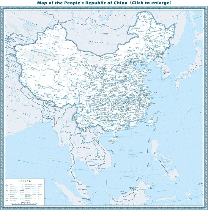
The following map shows an overall view of China's land area of about 3.7 million sq mi (9.6 million sq km) on a scale of 1:9,000,000. The territorial waters and neighboring countries are also included. The country’s provinces, major cities, together with popular tourist attractions are marked to facilitate visitors to China.
Province Map
China has 34 provincial-level administrative units: 23 provinces, 4 municipalities (Beijing, Tianjin, Shanghai, Chongqing), 5 autonomous regions (Guangxi, Inner Mongolia, Tibet, Ningxia, Xinjiang) and 2 special administrative regions (Hong Kong, Macau).

![]()
Anhui
Fujian
Gansu
Guangdong
Guangxi
Guizhou
Hainan
Hebei
Heilongjiang
Henan
Hubei
Hunan
Inner Mongolia
Jiangsu
Jiangxi
Jilin
Liaoning
Ningxia
Qinghai
Shaanxi
Shandong
Shanxi
Sichuan
Taiwan
Tibet
Xinjiang
Yunnan
Zhejiang
- Last updated on Aug. 07, 2025 by Gabby Li -
